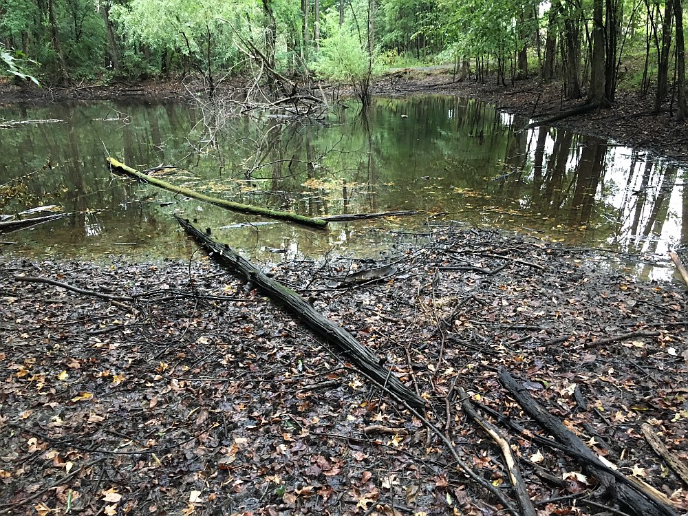
A wetland is defined by the US Army Corps of Engineers (USACE) and the US Environmental Protection Agency (USEPA) ) as “those areas that are inundated or saturated by surface water or groundwater at a frequency and duration sufficient to support, and that under normal circumstances to support, a prevalence of vegetation typically adapted for life in saturated soil conditions. Wetlands generally include swamps, marshes, bogs, and similar areas”. Criteria and methodologies used in the identification of potential wetlands are those prescribed in the USACE Wetland Delineation Manual and the appropriate regional supplement for the area of the United States. These documents outline methods for characterizing vegetation, recording soil data, and determining hydrology. In order to be classified as a wetland, all three of the following characterizations must meet specific requirements set forth by the USACE. Those areas not identified as wetlands are considered non-wetlands.
The criteria for wetlands are:
- the prevalence of hydrophytic vegetation
- the presence of hydric soils
- the presence of wetland hydrology
GRI has trained wetland specialists who can delineate jurisdictional and non-jurisdictional wetlands or other waters of the United States (WOUS) within a project area based on the requirements and criteria set forth by the USACE.
GRI has helped many companies with wetlands determination and delineation as well as development planning. With our expertise in this area, we can assist you.